How To Use A Transit Level For Grading
We may receive a commission on purchases made from links.
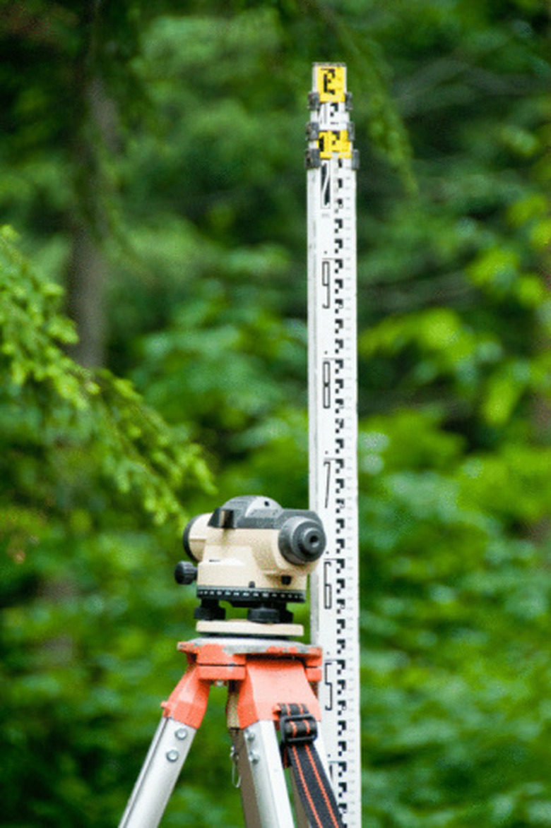
A transit level uses a small telescope mounted to a tripod to establish straight lines. The device allows the exact measurement of differences of surface or object height over the visible area of a project. While much of surveying has been computerized with assistance from global positioning systems there is still a use for the transit in determining grade or slope where all points can be seen. Using a transit requires some math and logic skills but falls within the skills of most do-it-yourselfers.
How to Use a Transit Level for Grading
1. Set Up the Transit Level
Set the transit level up on its solid three-legged or four-legged base. Press the feet of the base firmly into the ground. Adjust the legs until the spirit level, a small vial of liquid containing a bubble, shows it as level, with the bubble centered between the lines. Lock the legs in place.
2. Establish a Reference Point
Hold a marked stick at a reference point for the grading project. Transit level kits commonly have a stick marked in 1-inch increments. An assistant, sometimes called a stickman, holds the stick vertically straight at the reference point. The transit level operator sites through the telescope of the transit and notes the measurement in the crosshairs of the scope.
3. Begin Comparison Measurements
Move the stick to the first point in the project and repeat the process. The measurement noted at the second point is compared to the measurement of the reference point. For example, if the reference point showed a measurement of 46 inches off the ground and the measurement at the second point showed 40 inches off the ground the ground level at the second point would be 6 inches higher than the reference point.
4. Establish Grade Through Measurement Comparisons
Compare a series of measurements to establish a grade or slope for a road or sidewalk. If the grade is to slope 6 inches every 100 feet for example, the stickman would use a tape measure to move the stick 100 feet between references, then the surveyor would check the measurement through the transit.
Tip
Check the level on the transit every few measurements. Note in the measurement notes when the level is checked. If the transit is found to have gotten out of level, due to wind or other factors, repeat all measurements since the transit was level. The stickman must keep the stick level during the measurements. Also, setting the base of the stick flat on the ground can be a challenge if the ground is uneven or rough from heavy equipment operations. Consistent placement of the stick is critical to an accurate sighting with the transit level.